
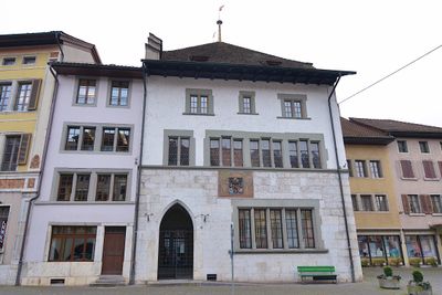
Town hall, public building in Büren an der Aare in the canton of Bern, Switzerland
Emplacement : Büren an der Aare
Coordonnées GPS : 47.13968,7.37208
Dernière mise à jour : 3 mars 2025 à 00:04
Château de Büren
77 m
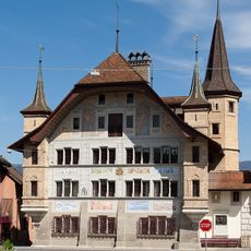
Burg Strassberg
697 m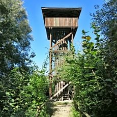
Observation tower Häftli
2.8 km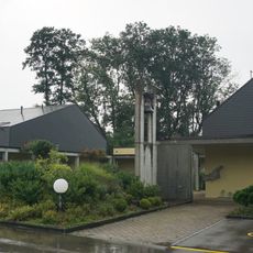
St. Katharina Parish Centre
962 m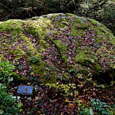
Grauer Stein
2.3 km
Schnottwil
3.6 km
Gerberhaus
299 m
Rectory
2.8 km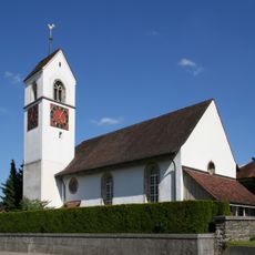
Reformed church with rectory
2.8 km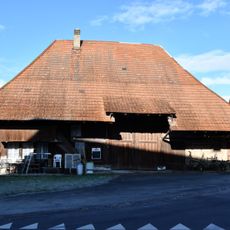
Zeller Building
4.2 km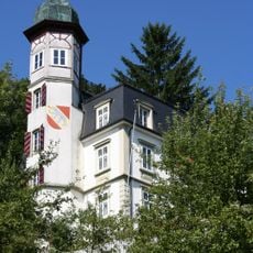
Dotzingen château
3 km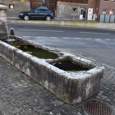
Fountain
4.2 km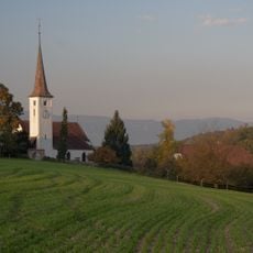
Reformed church and rectory, freestanding belfry
2.8 km
Im Staad Chapel
3.7 km
Ochsen restaurant
62 m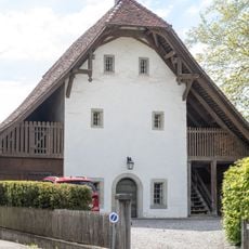
Prebend storage
2.7 km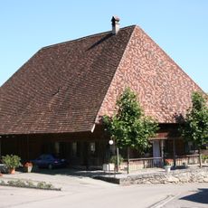
Bangerter House
3.1 km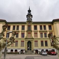
Schoolhouse
251 m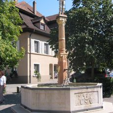
Fountain (1668)
38 m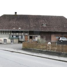
Old oilmill
3.6 km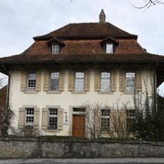
Reformed rectory with barn
3.5 km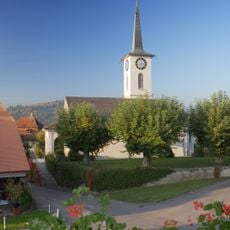
Reformed church
3.6 km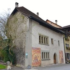
Alter Spittel
162 m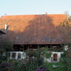
Moulin
3.1 km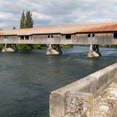
Covered wooden bridge over the Aare
131 m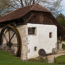
Old mill
337 m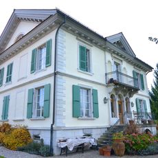
Stotzer House with economic buildings
635 m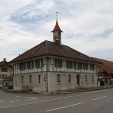
Former school house – today's municipal administration
3.9 kmVous avez visité ce lieu ? Touchez les étoiles pour le noter et partager votre expérience ou vos photos avec la communauté ! Essayez maintenant ! Vous pouvez annuler à tout moment.
Trouvez des trésors cachés à chaque coin de rue !
Des petits cafés pittoresques aux points de vue planqués, fuyez la foule et dénichez les lieux qui vous ressemblent vraiment. Notre app vous facilite la vie : recherche vocale, filtres malins, itinéraires optimisés et bons plans partagés par des voyageurs du monde entier. Téléchargez vite pour vivre l'aventure en version mobile !

Une approche inédite de la découverte touristique❞
— Le Figaro
Tous les lieux qui valent la peine d'être explorés❞
— France Info
Une excursion sur mesure en quelques clics❞
— 20 Minutes