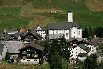
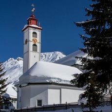
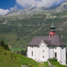
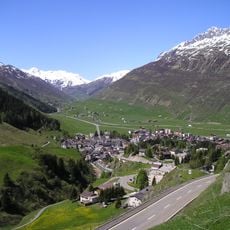
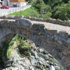
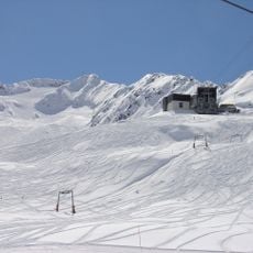
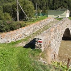
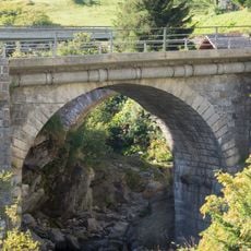
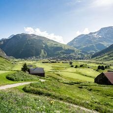
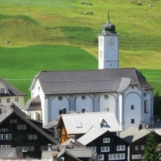
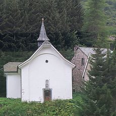
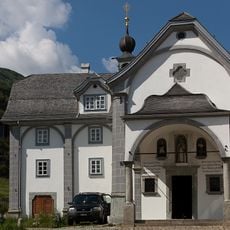
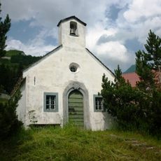
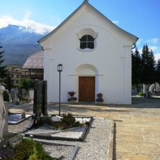
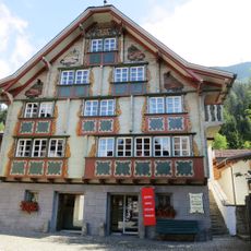
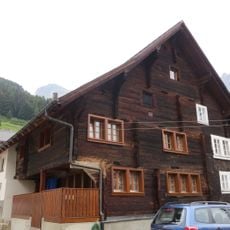
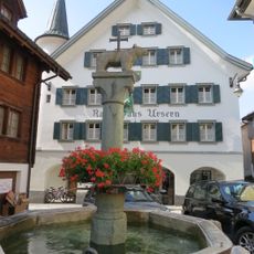
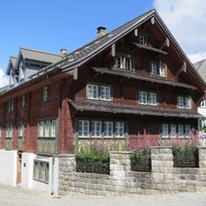
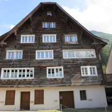
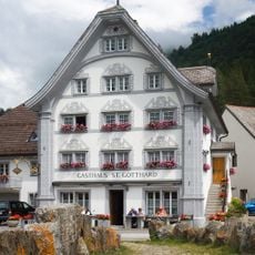
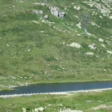
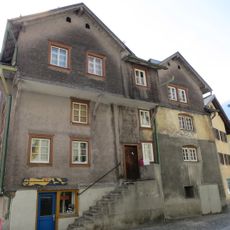
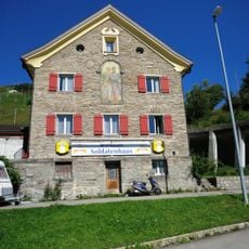
Hospental, commune suisse
Emplacement : Uri
Altitude : 1 493 m
Partage une frontière avec : Airolo, Göschenen, Realp, Andermatt
Site web : https://hospental.ch
Coordonnées GPS : 46.62056,8.57000
Dernière mise à jour : 16 mars 2025 à 14:49
Gemsstock
3.8 km
Longobard Tower
322 m
Pizzo Centrale
5.8 km
St. Peter and Paul Catholic Church
2.4 km
Chapel Maria Hilf
2.6 km
Müeterlishorn
5.2 km
Mittagstock
4.6 km
Gotthardreussbrücke
168 m
Gurschenfirn
3.3 km
Tennlen bridge over the Furkareuss river
122 m
Gotthardreussbrücke
156 m
Andermatt
1.1 km
Assumption of the Virgin Mary Catholic Church
189 m
St. Nikolaus Chapel
2.6 km
Chapel and Rectory of St. Charles
401 m
St. Wendelin Chapel
2.8 km
Cemetery with tombs and chapel of the dead St. Michael
2.4 km
Residential house (Valley Museum)
2.4 km
Ursern Valley Museum
2.4 km
Florentini house in the village
5.7 km
Modern gallows / Place of execution
545 m
Town hall with village fountain
2.4 km
Müllerhaus samt Ausstattung in Hospental-Dorf
313 m
Babylon House
2.3 km
Gasthaus St. Gotthard
147 m
Insediamento preistorico sul Passo del San Gottardo (Alpe die Rodont)
5.4 km
Nosen House
2.6 km
Soldatenhaus
2.8 kmVous avez visité ce lieu ? Touchez les étoiles pour le noter et partager votre expérience ou vos photos avec la communauté ! Essayez maintenant ! Vous pouvez annuler à tout moment.
Trouvez des trésors cachés à chaque coin de rue !
Des petits cafés pittoresques aux points de vue planqués, fuyez la foule et dénichez les lieux qui vous ressemblent vraiment. Notre app vous facilite la vie : recherche vocale, filtres malins, itinéraires optimisés et bons plans partagés par des voyageurs du monde entier. Téléchargez vite pour vivre l'aventure en version mobile !
Une approche inédite de la découverte touristique❞
— Le Figaro
Tous les lieux qui valent la peine d'être explorés❞
— France Info
Une excursion sur mesure en quelques clics❞
— 20 Minutes