
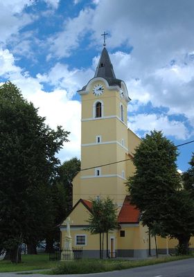
Lozorno, commune de Slovaquie
Emplacement : Malacky District
Création : 1589
Altitude : 188 m
Site web : http://lozorno.sk
Coordonnées GPS : 48.33464,17.04445
Dernière mise à jour : 6 avril 2025 à 15:20
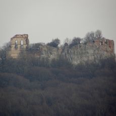
Pajštún Castle
7.2 km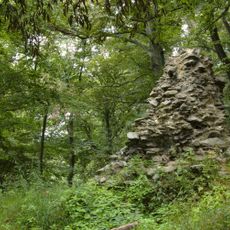
Dračí hrádok
10.2 km
Basilica of the Nativity of the Virgin Mary
9.7 km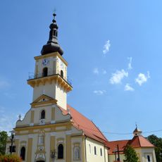
Church of St. Stephen I of Hungary
6.9 km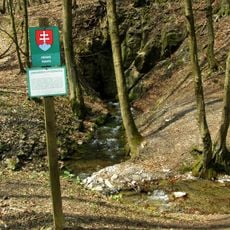
Limbašská vyvieračka
10.6 km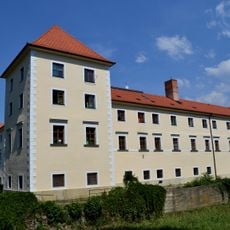
Schloss Stampfen
6.8 km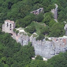
Pod Pajštúnom
7.1 km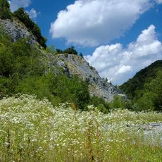
Strmina
9.3 km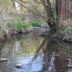
Jablonovský potok
5.1 km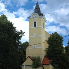
Church of Saint Catherine of Alexandria
311 m
Rudanický potok
3 km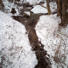
Rozglabský potok
8.6 km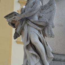
Trojičný stĺp, socha
6.9 km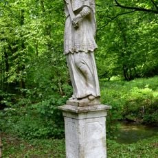
Sv. Ján Nepomucký, socha na podstavci-kópia
10.1 km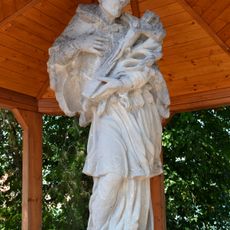
Statue of Saint John of Nepomuk
6.8 km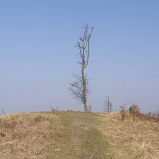
Somár
8.6 km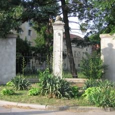
Stĺp hanby
6.9 km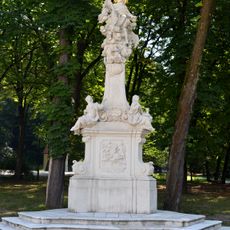
Statue of John of Nepomuk
9.7 km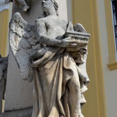
Trojičný stĺp, socha
6.9 km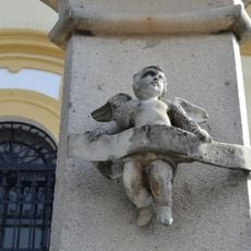
Trojičný stĺp, socha
6.9 km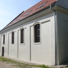
Synagóga
6.9 km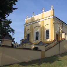
Kaplnka kalvárie
6.9 km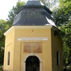
Chapel of Saint Anna
9.7 km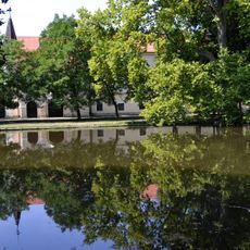
Pálffyovský kaštieľ, park
6.8 km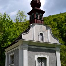
Chapel of saint Michael, Medené Hámre
10.1 km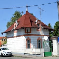
Strážny domček pri kaštieli
6.8 km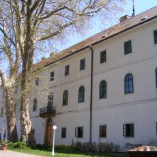
Paulínsky kláštor, kláštor paulínov
9.7 km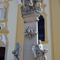
Trojičný stĺp, pilier-kópia
6.9 kmAvis
Vous avez visité ce lieu ? Touchez les étoiles pour le noter et partager votre expérience ou vos photos avec la communauté ! Essayez maintenant ! Vous pouvez annuler à tout moment.
Trouvez des trésors cachés à chaque coin de rue !
Des petits cafés pittoresques aux points de vue planqués, fuyez la foule et dénichez les lieux qui vous ressemblent vraiment. Notre app vous facilite la vie : recherche vocale, filtres malins, itinéraires optimisés et bons plans partagés par des voyageurs du monde entier. Téléchargez vite pour vivre l'aventure en version mobile !

Une approche inédite de la découverte touristique❞
— Le Figaro
Tous les lieux qui valent la peine d'être explorés❞
— France Info
Une excursion sur mesure en quelques clics❞
— 20 Minutes